This post may contain affiliate links. By clicking and making a purchase through the links, I earn a small commission at no extra cost to you. See my disclaimer for more information. This and display ads allow me to keep the site up to date and give back.
Wondering about hiking the discovery trail in Newfoundland? You’re in the right place! I grew up in Newfoundland, and hiking is one of my favorite things to do.
I had the pleasure of exploring all the trails in partnership with Legendary Coasts and Newfoundland and Labrador Tourism in 2021, which was a wonderful experience.
Newfoundland is full of incredible hiking trails, but the Discovery Trail is something special. This network of paths goes along the Bonavista Peninsula, stretching from the town of Trinity to Bonavista.
Whales, icebergs, puffins, sea stacks, and stunning ocean views are just a few of the amazing sights you can see along the trail.
Here are seven stunning hikes on the Discovery Trail Newfoundland to inspire your next adventure.

Discovery Trail Newfoundland Hikes
1. Skerwink Trail Newfoundland
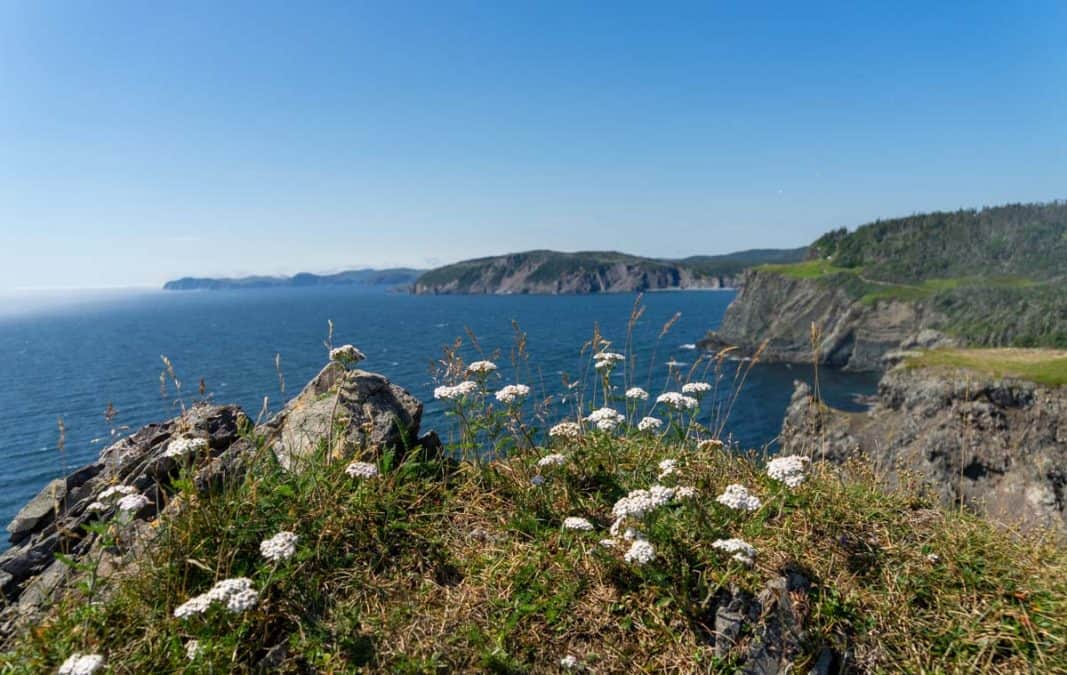
5.3 KM round-trip | moderate to difficult | 1.5-2 hours
The Skerwink Trail is one of the best hikes in Newfoundland – it was actually named by Travel and Leisure as one of the best walks in North America. And yes, it does live up to all the hype.
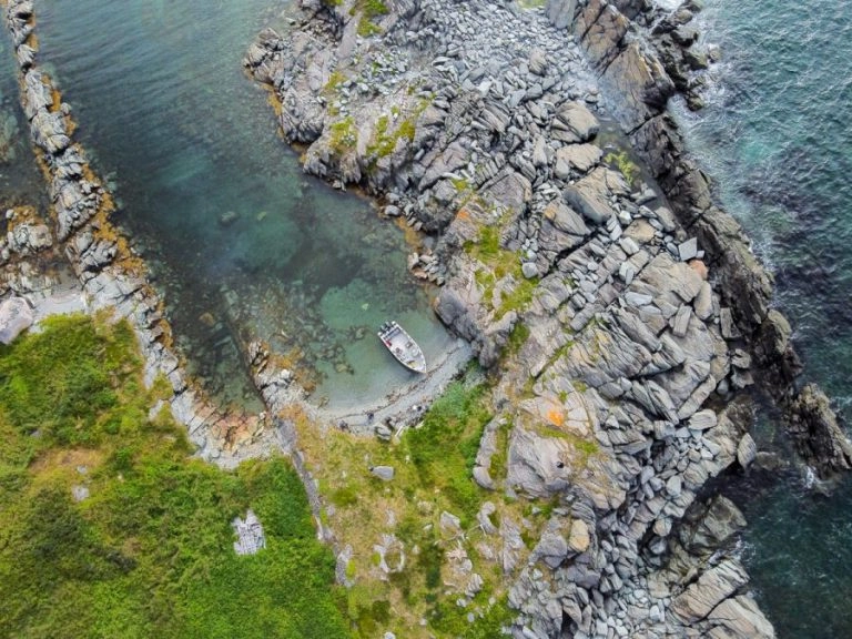
This 5.3km coastal trail starts from Port Rexton and takes you along the coast through some stunning geological formations. It’s a great place to see icebergs in the spring, go whale watching in the summer, and go bird watching.
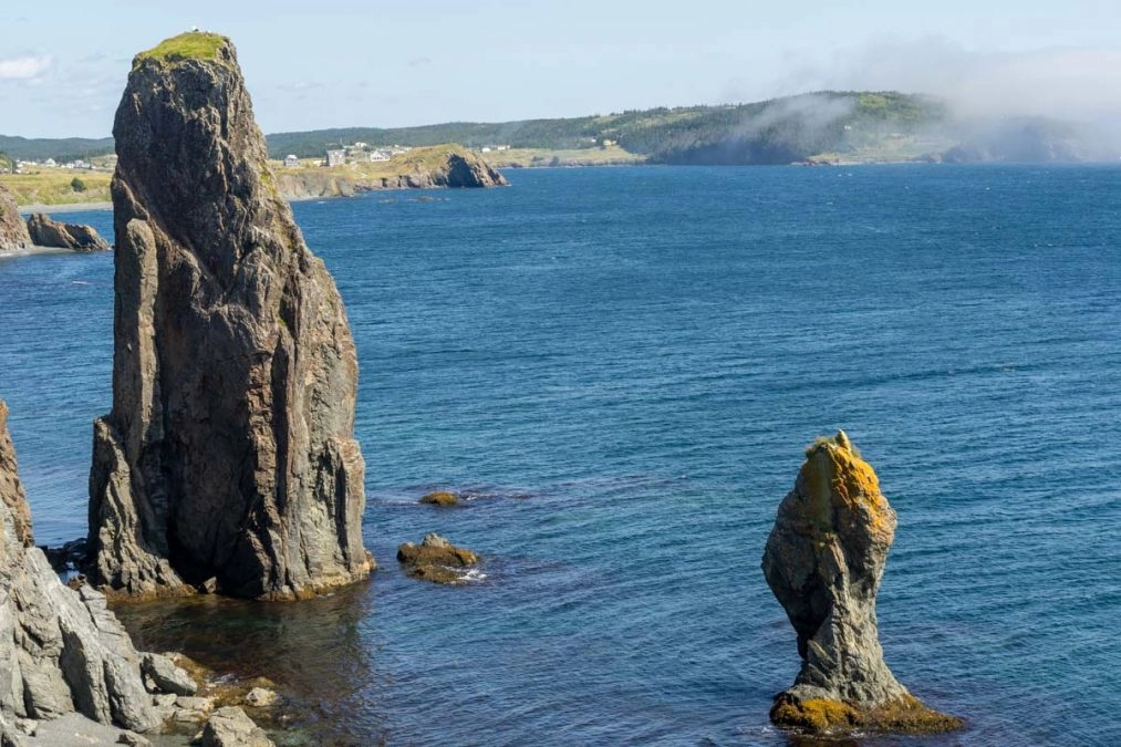
The first section of this trail follows the old rail bed into a walking trail, with the first lookout at about 1.2 km. From there, you’ll get the first glimpse of sea stacks, which are formed over time by constant wind and wave erosion along the coast.
After about 2km, the trail opens up an amazing ocean view of the Skerwink rocks, where you can often spot sea birds, including black-legged kittiwakes, gannets, and gulls.
This is also a great place to keep a lookout for whales as Capelin roll into the beach below. I saw humpbacks here while I was hiking!
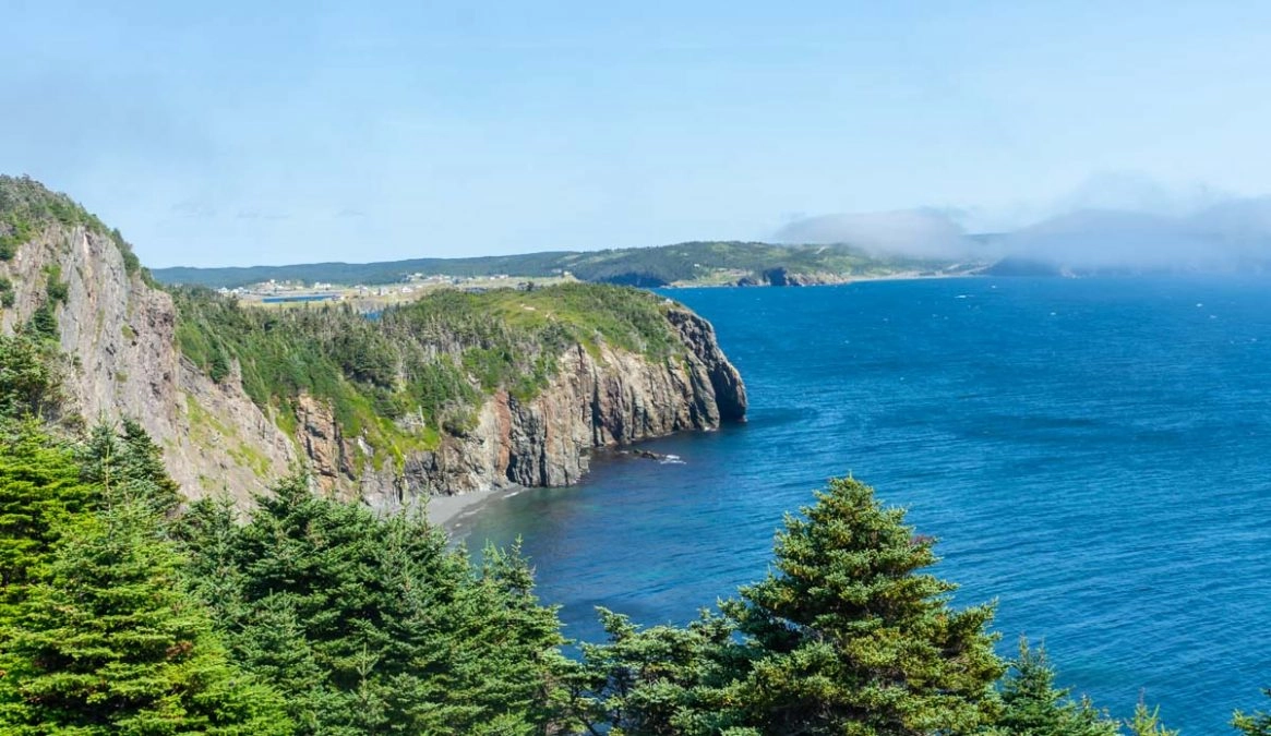
At about 3.5km, there is a side path that will take you to a lookout for a panoramic view of the region and surrounding community.
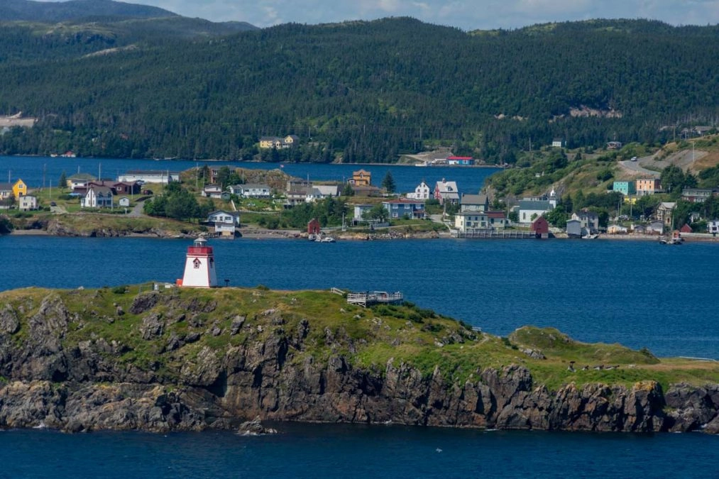
The trail then goes back into the forest, opening up to Sam White’s cove. This is a nice place to hang out and walk along the pebble beach, and if you’re feeling brave, put your feet in the ocean.
Leaving the cove, the trail then turns into an old cart path and follows a gravel road back to the start.
This hike does have a fair bit of up and down, but there are plenty of gorgeous views to enjoy if you need to take a break. It took us about two hours to do, and that was with plenty of photo stops!
Trailhead: The trailhead is in Port Rexton. From Route 230, take Rocky Hill Road and travel for about 2km until you reach the parking lot area for the Skerwink trail, which is between Marshall’s Hill and the Anglican Church.
After hiking the Skerwink Trail, stop for a pint at Port Rexton Brewing. There’s also a delicious food truck here called ‘Oh My Cheeses’- enjoy those well-deserved carbs!
2. Gunhill Trail

1-2 KM | Easy to Moderate | 1-2 Hours
Gunhill Trail is a fairly easy hike that starts from the town of Trinity near the rising tide theatre.
Shortly after starting the hike, there will be a detour you can take to a lookout point. It leads you down a nice rocky beach where you get great views of Trinity.
Back to the main trail, there’s a choice to follow the short route (Upper Gun Hill, 1km) or the longer route (Lower Gun Hill, 2km).
The upper gun hill route takes you a magnificent view of Trinity Bay, so that’s what I opted to do.
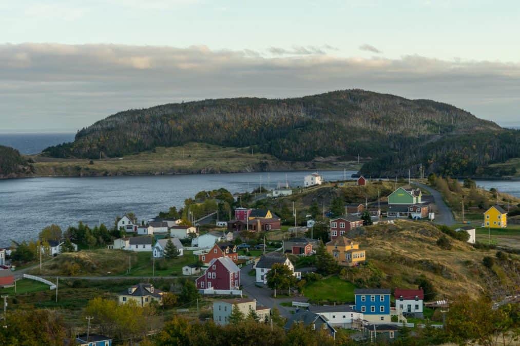
At the lookout, there’s some information about the history of Trinity.
It’s one of the Discovery Geopark sites due to the significance of Trinity Harbor, which is the product of millions of years of geological processes.
There are also two restored cannons at the site, and you can compare the current town of Trinity with the 1910 photographs shown on the panels.
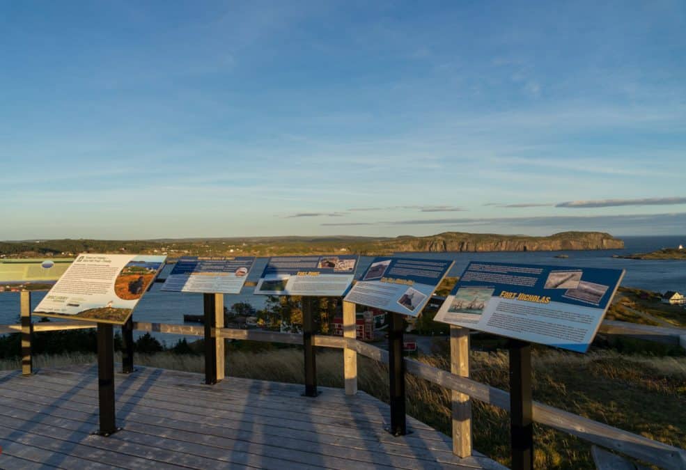
This is one of the best Trinity hiking trails. The light over the town at sunset is breathtaking if you can time it for then!
Trailhead: Starts from the gravel lot at the end of West Street in the town of Trinity.
Need help planning your trip to Newfoundland? Get your itinerary reviewed or have one tailor made by me – a Newfoundland local!
3. Fox Island Trail, Discovery Trail NL
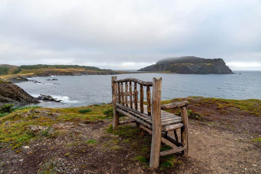
5.5 KM | Moderate | 2-3 hours
This trail starts in Champney’s West, taking you through beautiful coastal scenery as well as views of the local communities.
There are small sections through wooded areas, but for the most part, this trail follows along the coastline, where you can see rocky beaches and seaside cliffs. Look out for local wildlife here, I saw bald eagles flying over me.
Just past the 1km mark, you will see a shortcut that connects you to the community of Champney’s West, but the hike towards Fox Island is worth the extra time. At around 2km, there’s a nice wooden bench and picnic area. This is also a great place to pick berries!
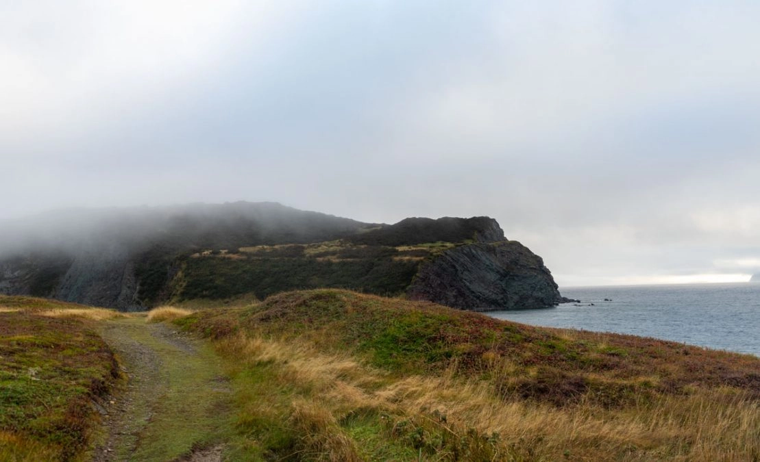
After leaving Fox Island, you will pass by a few farm plots before connecting to a road just past the 3km mark.
There is a detour here from the trail to Champney’s West Aquarium, where you can see tanks of local fish, including salmon, cod, lumpfish, and flounder.
At the 3.5 km mark, the trail follows the road for one kilometer, then reconnects to the trail at around 4.5 kilometers, taking you back towards the start.
Trailhead: This trail starts in Champney’s West. Turn off Route 230 to Route 230-17. The parking lot is located on the right, about 2km from the turn-off (across the road from the old cemetery).
4. Murphy’s Cove to Lodge’s Pond Trail
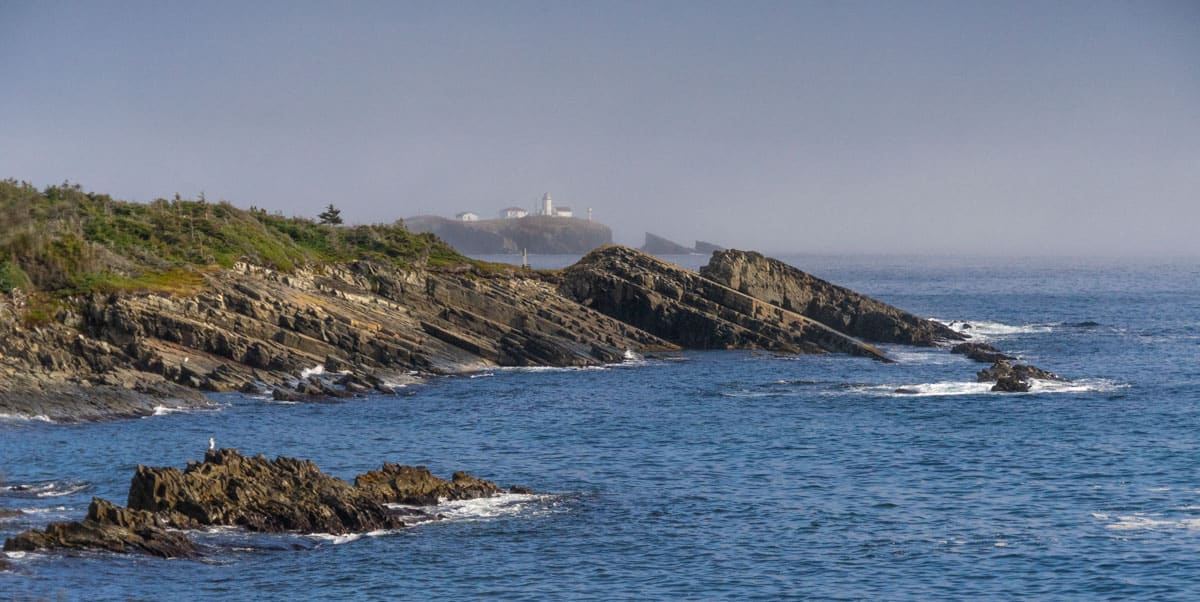
7.7 KM loop trail | Moderate | 3 hours
Like many of the trails on the Discovery Network, this trail starts off following a cart-style path before veering off into a footpath towards Lodge’s pond.
At about 1 KM, the trail opens up the coastline with several natural lookout points as it weaves in and out of the forest. You can also see “the squirter” here, where water is forced through a hole in the cliff and sea, spouting water in the air.
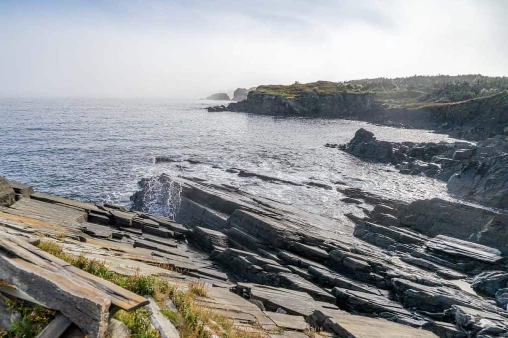
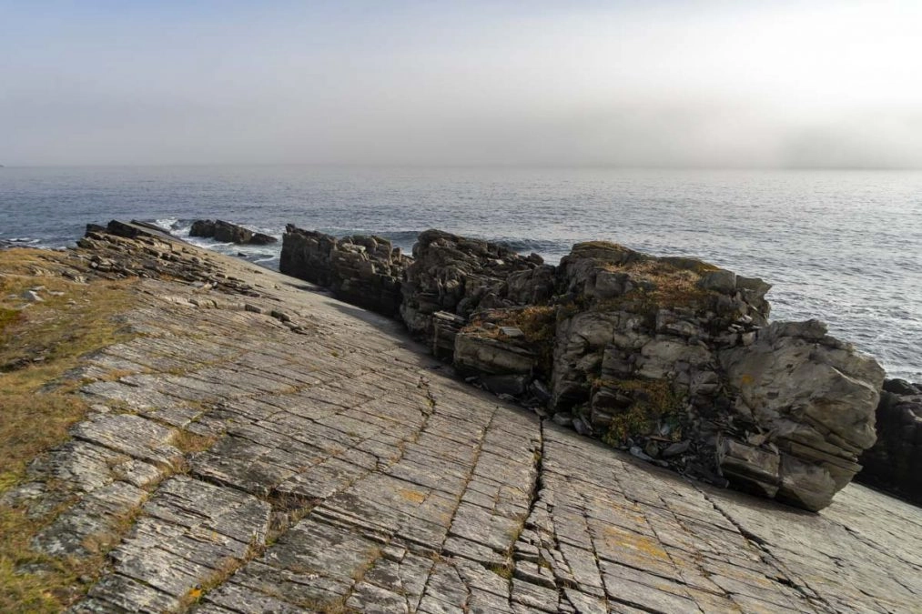
Near the 2KM mark, you can see another one of the discovery geopark sites, with large flat stones dotting the path across the beach
The rock formation here has been observed to contain abundant Ediacaran fossils, similar to what has been found in Mistaken Point on the Irish Loop. Newfoundland never ceases to amaze me!
At about 3.5 km, a lookout platform will give you a great view of Green Island and the lighthouse, which was in operation back in 1857.
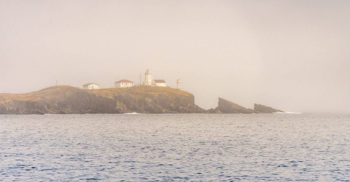
The trail continues through the forest, and at about 5km, you will enter the resettled community of Murphy’s Cove.
The settlement was abandoned in the 1960s because the neighboring communities of Port Union and Catalina had more to offer. There, you can and can read about the history of the community before taking the old cart path back to Port Union.
You can also visit the Port Union museum to learn about the history of this community which was once the largest exporter of dried cod on the east coast.
Trailhead: Turn off Route 230 onto Reid Road in Port Union. The trail parking lot is a couple of hundred meters down the road on the right, next to the Gazebo.
5. King’s Point Lighthouse Trail
1.7 (inside loop) -3.5 KM (outside loop) | Easy to Moderate | 45 minutes -1.5 hours
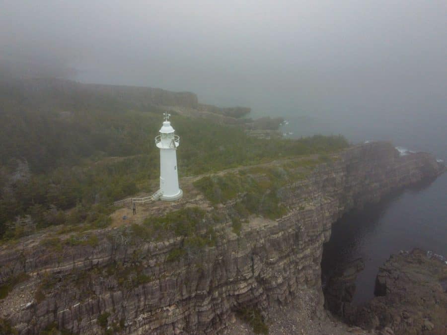
This trail follows along the old cart path, which was used to access the lighthouse. Following the inside loop, it only takes about 15 minutes to walk to the lighthouse.
The lighthouse was built in 1893 after some 50 shipwrecks occurred in Bonavista Bay.
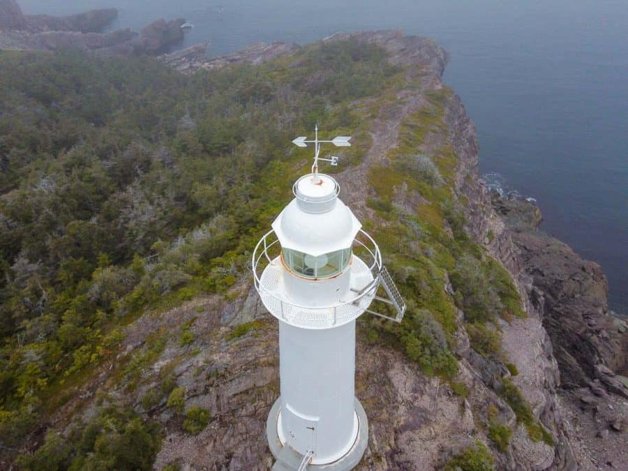
If you take the outer loop, you’ll get some great lookouts of the coast. It was very foggy the day I hiked this trail, so I just stuck to the inside trail. It was a quick walk to the lighthouse, which you can get right next to.
Trailhead: From Route 235, turn onto Top Road in King’s Cove and then right onto Church Hill. The trailhead is located behind the Roman Catholic Church.
6. Klondike Trail Newfoundland
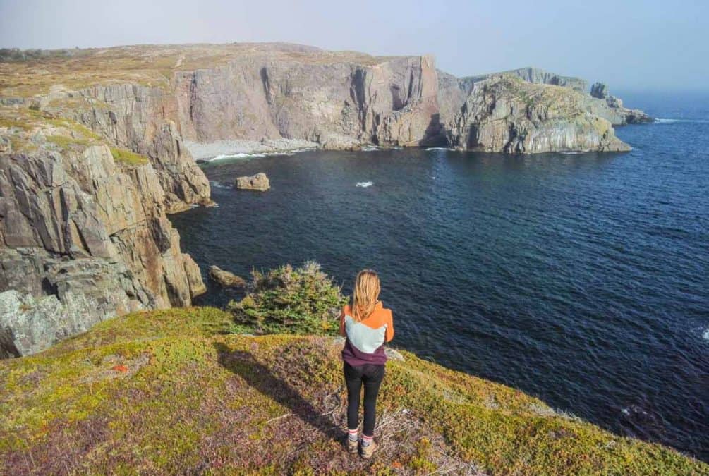
The Klondike Trail in Newfoundland is a 3km one-way trail that follows an old inland cart path that was used by residents of Elliston traveling to Bonavista.
If you’re starting in Elliston, be sure to check out some of the root cellars. It’s the root cellar capital of the world!
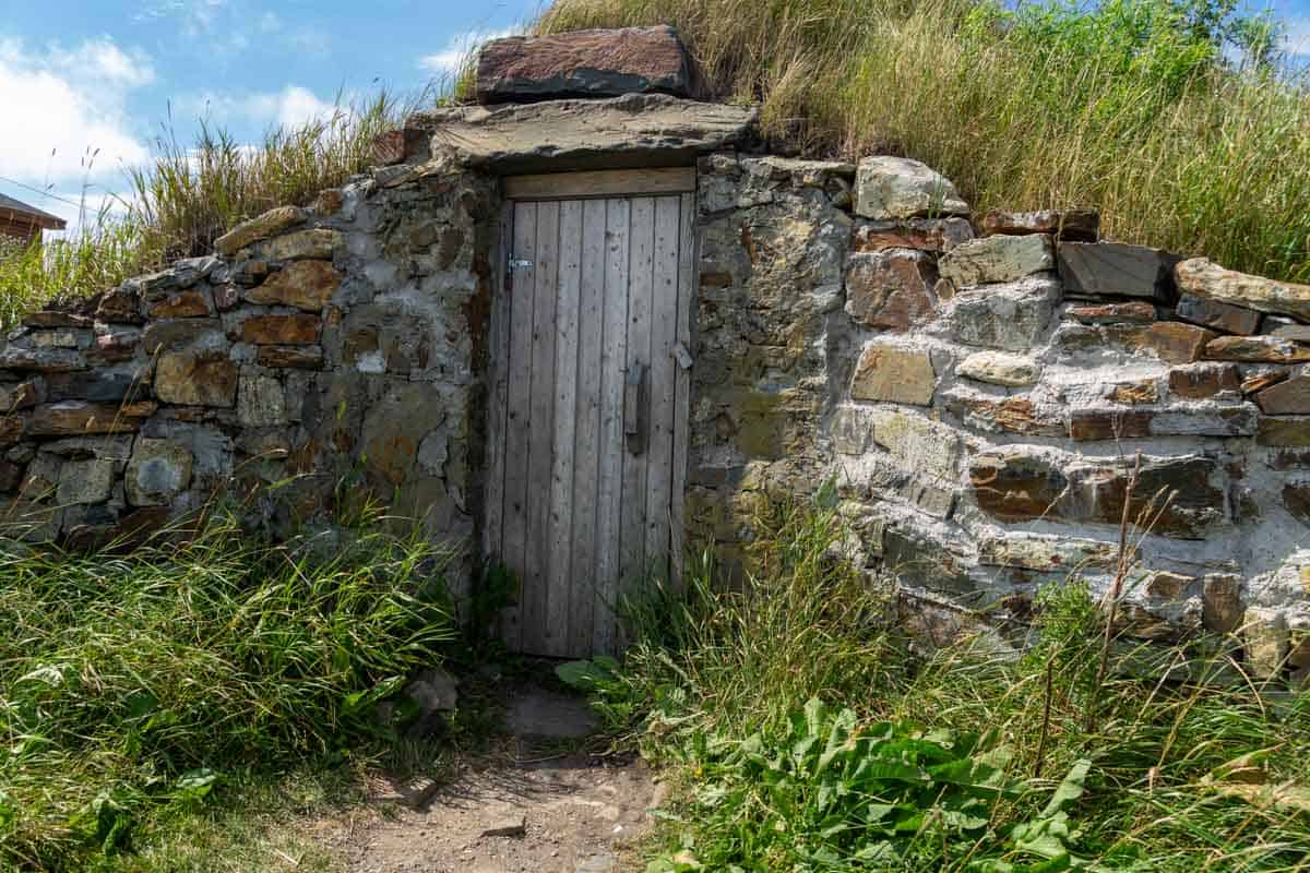
Starting from Elliston, the trail goes through a fir-dominated forest, then passes through a few marshlands where you can see the provincial pitcher plant. At around 2km, the landscape changes into barrens.
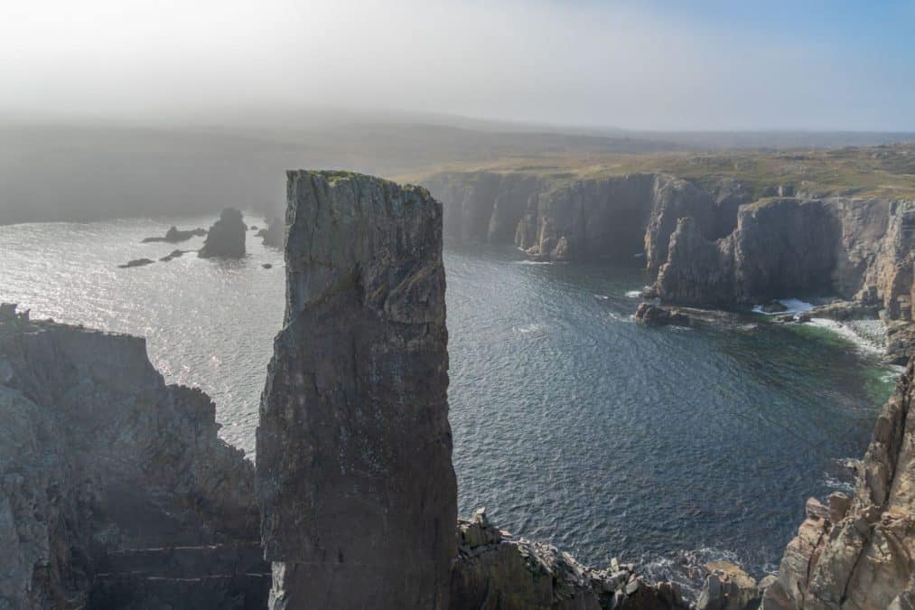
This last section by Spillars Cove between the 2.5km and 3km steals the show, with sea stacks and puffins galore. Elliston has some of the best puffin watching from land in North America!

Note that if you are short on time you can also access Spillers Cove from the Bonavista Side.
Trailhead: End of the main street in Elliston.
7. Cape Shore Trail, Bonavista
3.5 KM | Easy to Moderate | 1.5 hours
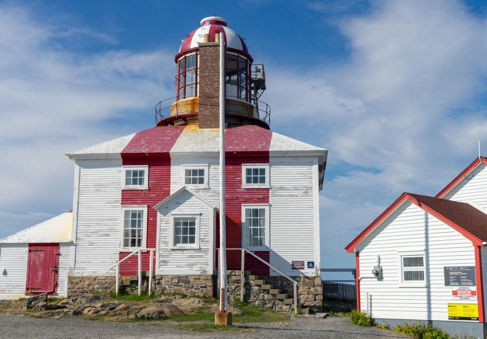
The Cape Shore Trail follows the outline of the coast before ending near Cape Bonavista Lighthouse, passing through farmland with excellent viewing opportunities for whales, icebergs, and puffins.
I didn’t get a chance to hike this whole trail, but I have spent a lot of time exploring Bonavista. The whole region is beautiful, and I’ve heard this is one of the best Bonavista hikes.
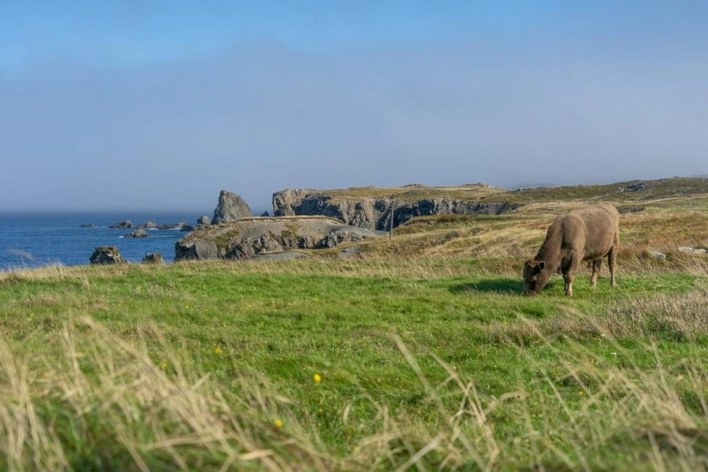
I love the farmland in Bonavista; you can see horses and cows living very happy lives around the community.
The geology around the coast is gorgeous too. If you don’t have time to do this hike, still visit the lighthouse. It’s a gorgeous area and a great place to look for puffins nestled in the cliffs.
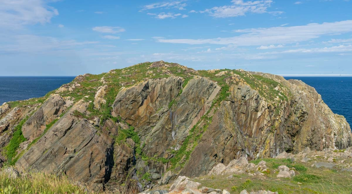
If you’re in Bonavista, be sure to check out Dungeon Provincial Park. It’s a collapsed sea cave with a natural archway carved by the sea!
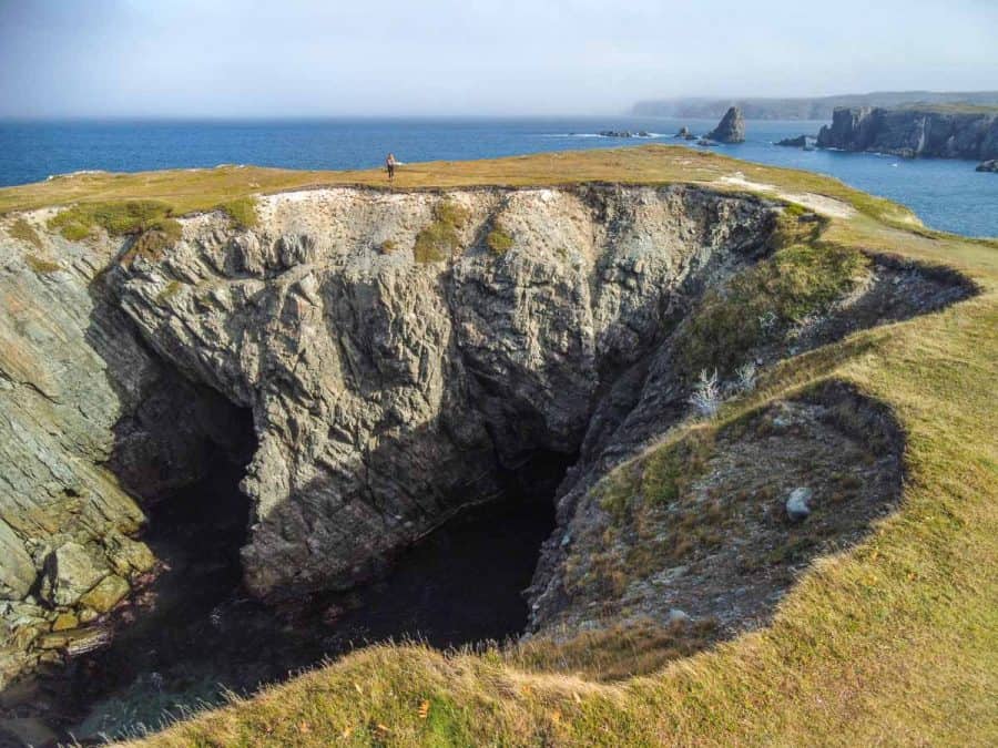
Bonavista also has a number of other attractions and historical sites to visit. The Ryan Premises National Historic Site is one of the most popular, which is a preserved example of a large-scale merchant operation in a Newfoundland outport.
Trailhead: Ocean side of Cape Shore Road on the way to the Cape Bonavista Lighthouse.
Need help planning your trip to Newfoundland? Get your itinerary reviewed or have one tailor made by me – a Newfoundland local!
FAQ: Discovery Trail Newfoundland
When is the best time to see icebergs around Bonavista?
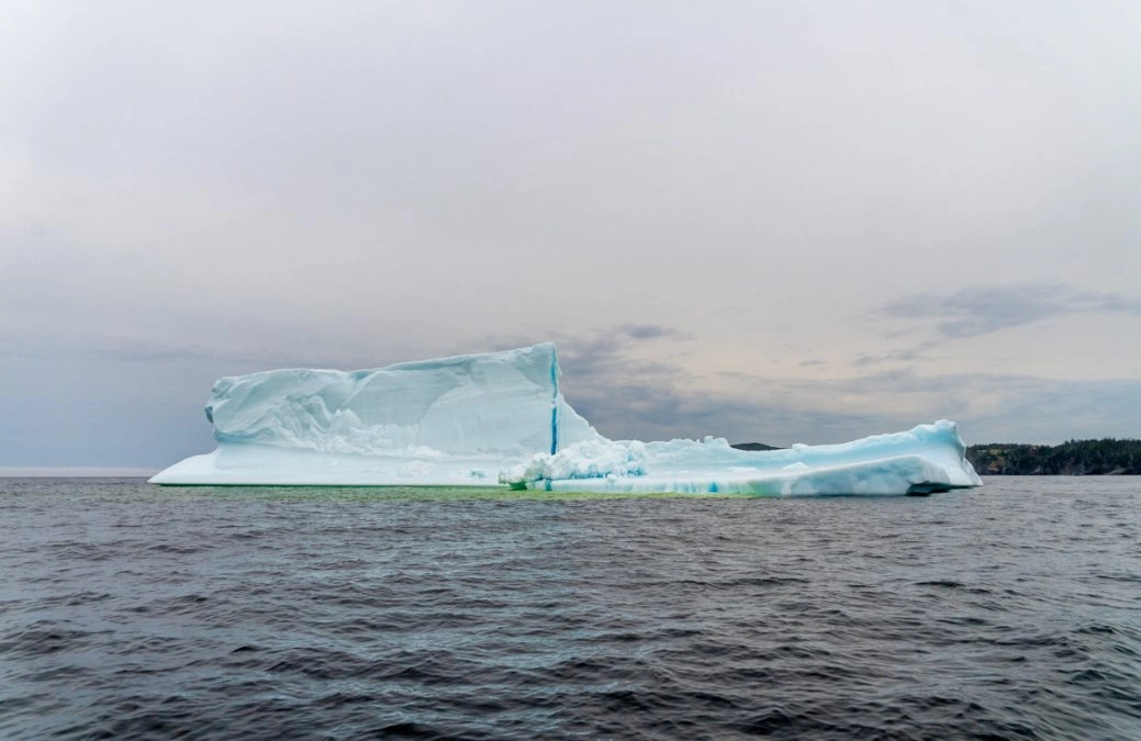
The best time to see icebergs is during the spring from May to June, although sometimes they can stay until July. Visit Iceberg Finder for the latest reports!
When is the best time to see whales in Newfoundland?
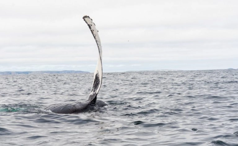
The best time to see whales in Newfoundland is July and August, as this is when the Capelin start rolling onto shore, which attracts migrating humpbacks. While you can see whales from these trailheads, taking a whale-watching tour from Trinity or Bonavista is the best way to see these majestic giants.
What is the best time to hike the discovery trail?
The summer months (July and August) are the best time to hike the discovery trail as this is when you will get the warmest weather, and it’s the best time to see whales. That said, I hiked the discovery trail in October, and the fall colors added a whole new element of beauty to it. If you want to see icebergs, May is the best month.
What to bring with you on the Discovery Trail
All the Discovery Trail paths are half-day hikes, but it’s still important to be prepared and carry all the essentials with you. To help you pack, check out my day hiking post, which walks you through what you need to bring on any day hike.
I always recommend a good pair of boots when hiking in Newfoundland, as the landscape is rocky and often wet from rain.
Final thoughts: Discovery Trail Newfoundland
The Discovery Trail has quickly become one of my favorite hiking areas in Newfoundland.
From the rugged coastlines to the fascinating marine life and the captivating stories of the past, this trail offers a unique blend of experiences that should be on every adventurer’s bucket list.
If you find yourself on the Bonavista Peninsula, don’t miss the chance to explore one or more of these gorgeous trails.
Planning a trip to Newfoundland? Don’t miss these posts!
Enjoyed this post? Pin it for later!




Leave a comment